What Every Traveler Needs to Know About El Niño
Surfline’s Coastal Intelligence team shares relevant information on how to journey safely around the West Coast this winter.
Getty Images
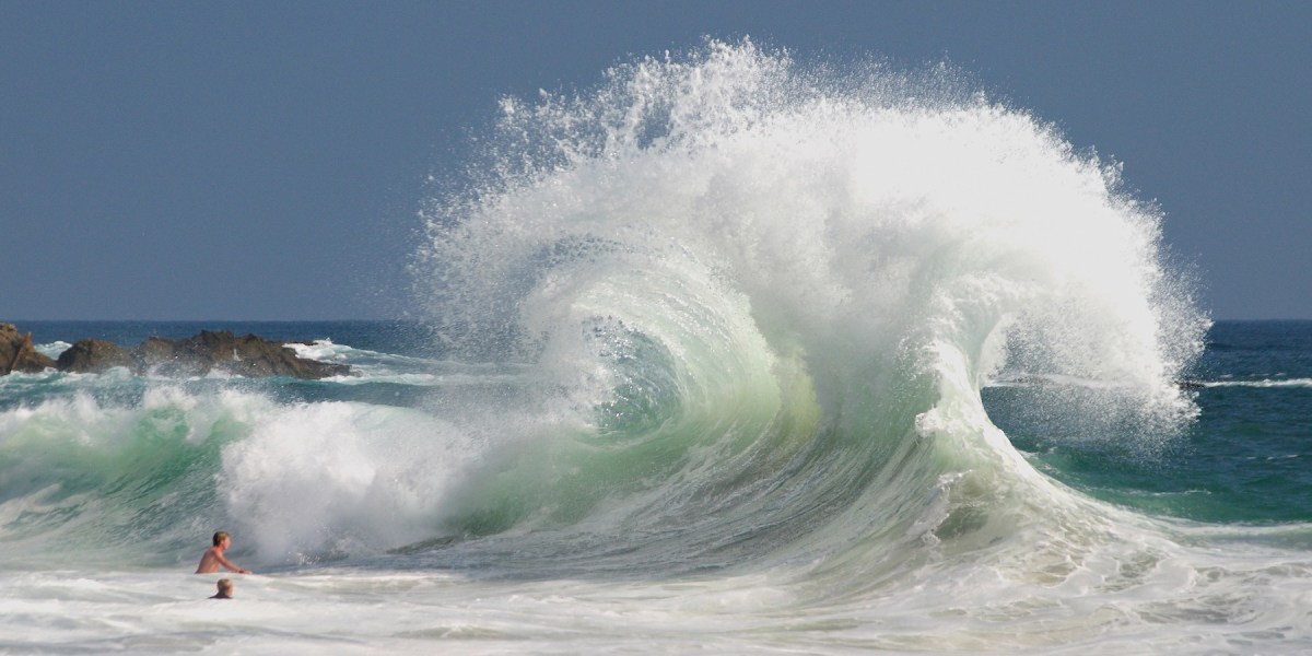
This fall and winter, California’s coast is about to feel drastically different. Sea levels are running nearly a foot higher than normal. Waves are arriving bigger and more often. Beaches are narrowing fast. And for anyone planning to surf, swim, or just sit near the ocean over the next few months, the rules have changed. We talked to Ross Garrett, CEO at Surfline Coastal Intelligence about what El Niño is actually doing to the West Coast right now, and what coastal travelers need to know before they go.
What is El Niño doing to the Pacific coastline, specifically this fall and winter? Is this change something that’s already been in motion? What should coastal travelers and residents actually expect in the months ahead?
The latest weekly reading in the Niño 3.4 region [the central equatorial Pacific, roughly between Hawaii and the coast of South America] hit +3.1°C in late September, a new 45-year record, edging past the previous weekly high set in November 2015, and arriving nearly two months earlier in the season. NOAA gives this El Niño a three-in-four chance to end up the strongest since before 1950 between November and January.
Governor Newsom has already declared a statewide emergency ahead of winter, and Hurricane Marie’s swell in early September triggered emergency declarations across Orange County and Malibu. Over the next 3-4 months, expect more frequent large swells, elevated sea levels, and higher odds of coastal flooding and erosion, concentrated on the West Coast and Hawaii.
Thomas J. Story
Which regions of the U.S. are seeing the most dramatic changes?
The West Coast and Hawaii are the hot zones this cycle. Southern California specifically: Malibu, Laguna Beach, Dana Point, Carlsbad, and Long Beach have all already reported erosion damage from the [early September] Marie swell alone. The Atlantic hurricane season has been the quietest on record, zero hurricanes through September, while the East and Central Pacific has run at more than double its normal intensity.
Let’s talk beach erosion. How does El Niño accelerate sand loss, and which beaches are you most concerned about?
Three things stack on top of each other: Sea levels run higher during a strong El Niño (NOAA’s put it at roughly 6-13 inches along California), wave energy increases, and the wave approach angle shifts, which changes which stretches of coast take the direct hit. Add bigger swells arriving more often and a beach’s sand supply can be altered for years following.
We’re watching the usual suspects that have already shown damage this season: Carlsbad, Dana Point, Laguna Beach, Malibu, and spots relying on sand nourishment that hasn’t fully set yet.
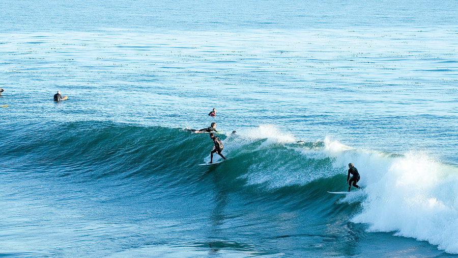
Photo by Jennifer Martiné
It’s more than just less room to sunbathe. Why does beach erosion matter for travelers?
A narrower beach means waves and run-up can reach infrastructure, roads, and parking lots that used to be buffered by sand. It also changes the beach profile underwater (near-shore bathymetry), which affects how and where waves break and how rip currents form. So erosion this season is a leading indicator for where flooding and access hazards show up next.
How do El Niño conditions change rip current behavior? What should swimmers be watching for?
Bigger, more frequent surf means more opportunity for strong rip currents to form and more unpredictability in where they show up. Elevated erosion also reshapes the sandbars underwater that currents move through, so rip locations can shift from what a regular at a beach is used to. Watch for discolored, choppy water moving in a channel through the surf line, foam or debris moving steadily offshore, and a break in the wave pattern.
Are certain times of day or tide conditions more dangerous? How can people check in on educated timing?
Incoming and high tide combined with a building swell is generally the riskiest window, since that’s when wave energy and water level stack together. Before you go, check NWS beach hazard statements, local lifeguard advisories, and Surfline’s forecast and cam network for the specific beach you’re headed to as conditions can vary meaningfully spot to spot.

Thomas J. Story
For surfers specifically, where are the best conditions showing up this fall and winter?
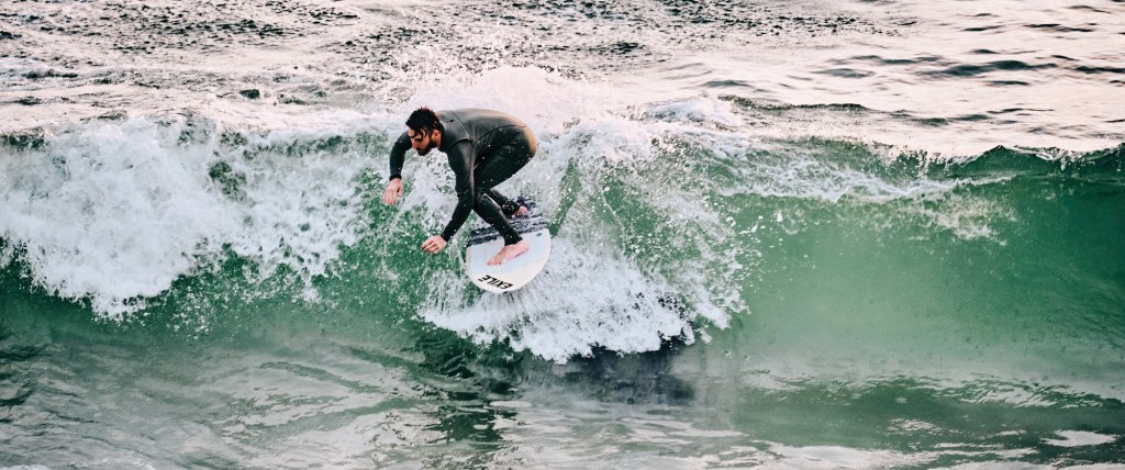
There’s no one answer, or one outcome for any area. The East Pacific is running more than two-times above average, and the storm track heads toward Southern California, pumping west swell and tropical moisture right into the West Coast.
If someone is planning a coastal trip in the next few months, what should they be checking beyond the standard weather forecast?
Check surf and swell forecast for the specific beach, not just regional weather. Look at tide tables, since tide timing changes how the same swell behaves. Look into local lifeguard or county beach hazard advisories. And if you’re near infrastructure like piers, bluffs, or coastal roads, check whether there’s been recent erosion news for that spot. Surfline’s forecast tools and live cams are built for exactly this.